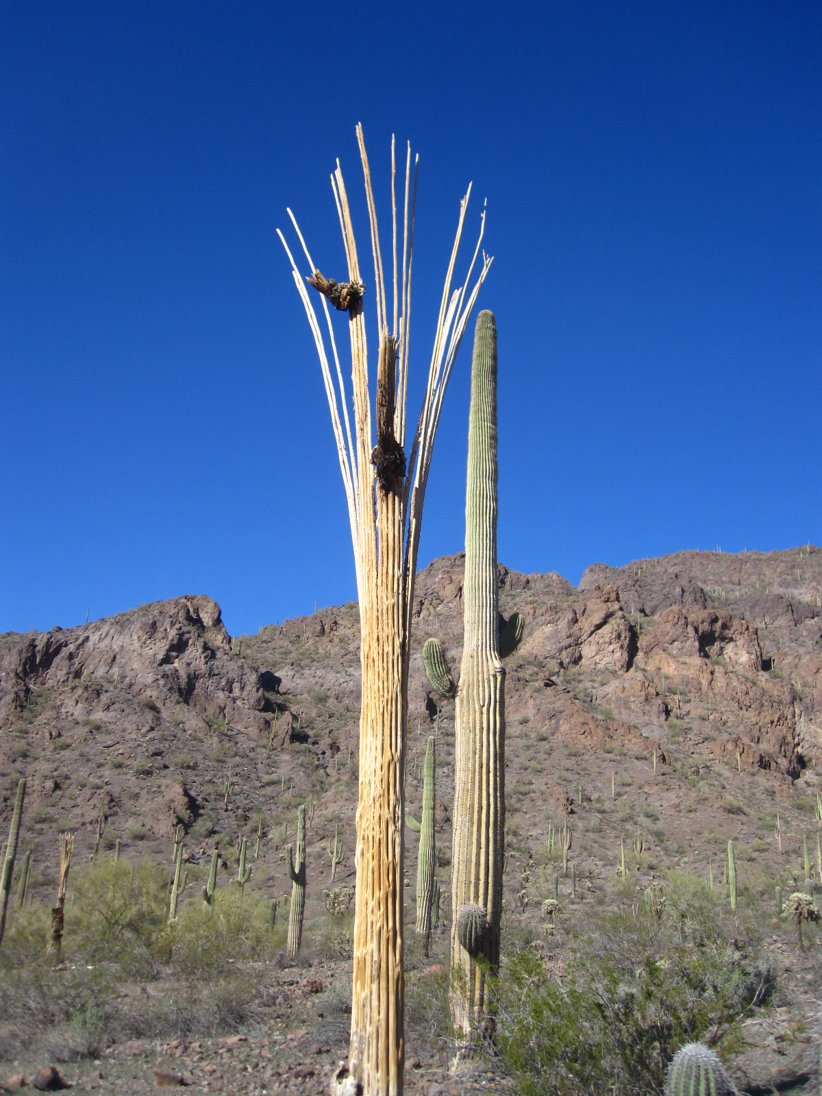
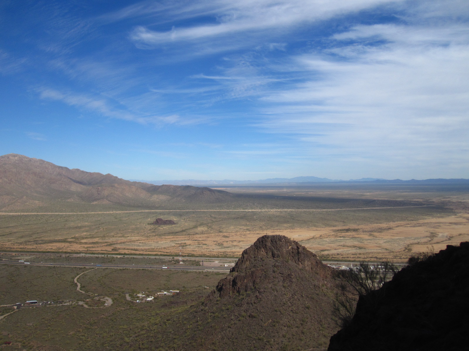
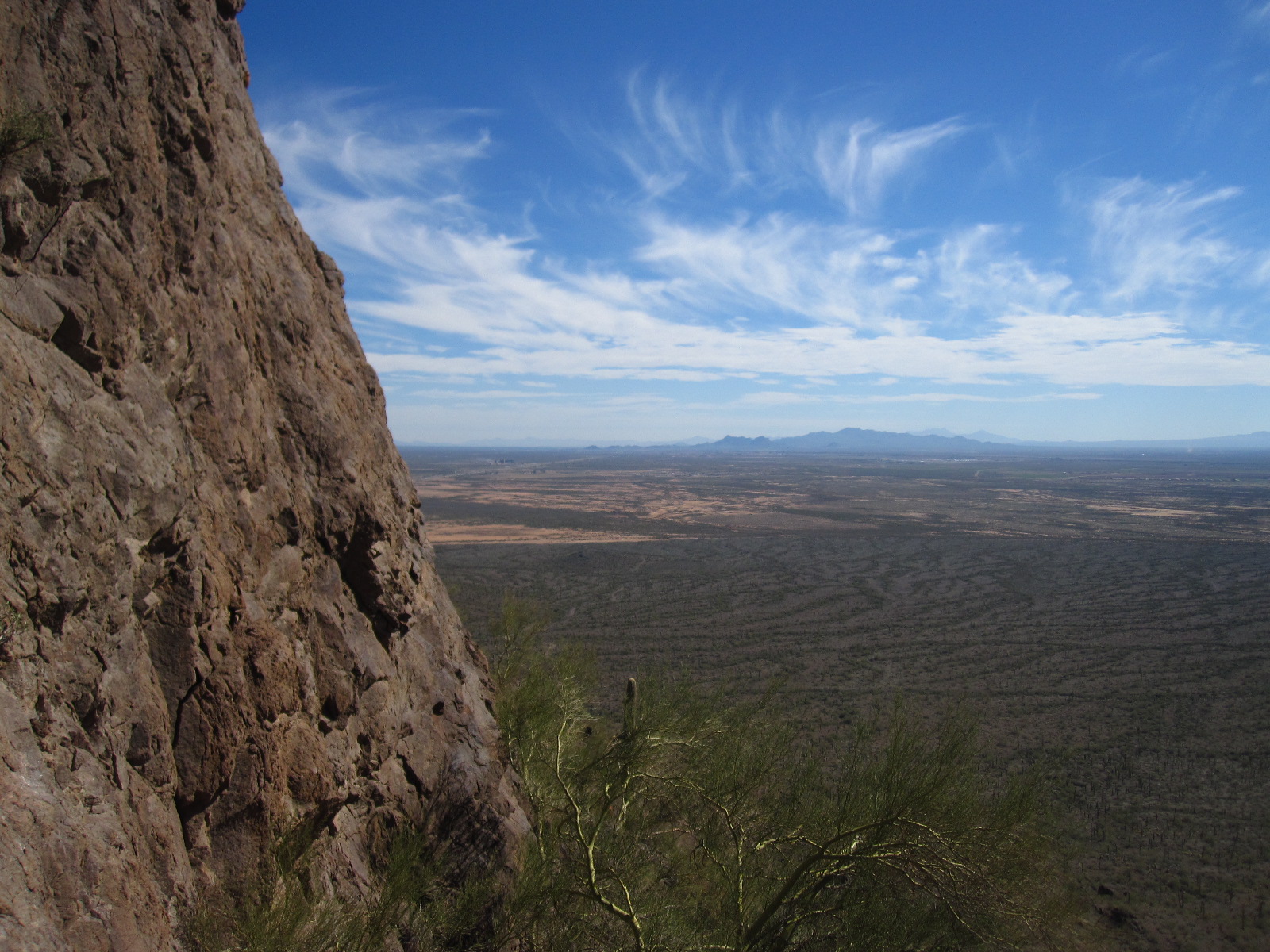
My new favorite activity is geocaching. Geocaching is an activity where people look up the coordinates to a cache hidden in a particular location and then go on a "treasure hunt" looking for the cache. The caches are usually camouflaged and well hidden from the general public. They can be found in the middle of nature, a popular tourist attraction, a park, or even in the middle of the city. Some caches contain cool treasure items that you can trade for, but I mostly just like the thrill of the hunt and the opportunity to get outside.
The first thing you need to do to be a geocacher is create a membership at www.geocaching.com. Once you join the site, you can search for caches anywhere in the world. The site also contains more in depth information about geocaching and the types of caches you can find. The second thing you need to do is obtain a device with GPS capability. You need to be able to put GPS coordinates (latitude and longitude to the decimal) into the device and it needs to be able to read your distance to the coordinates. Many smart phones will do this with a geocaching app. Devices that are purely meant to be a GPS will work better. I use my boyfriend's hunting GPS for this and it works beautifully. You can find GPS devices at outdoors stores, online, and in some big box stores for a varied range of prices based on what you want them to be able to do.
When you find a geocache, you have to sign the log. Then, you have the opportunity to make a trade. Some caches are too small to hold any items (called a microcache), but many are big enough to hold items the size of key chains, bouncy balls, army men, buttons, etc. I've even left PoorWater CDs in a couple! The rule is: if you take something, you have to leave something of equal or greater value. Once you've found the cache, you replace it exactly as you found it and then log it on your geocaching.com account as "found."
One last thing: you can't tell members of the general public what you are doing. That's part of the fun! You might get some weird looks, so just pretend you're a spy Lol. The reason for this is that you don't want them to mess with the caches or throw them away etc. because they don't understand what's going on
Now, on to the pictures! The first set of pictures is from a day when I went geocaching out in East Mesa.

I'm pretty sure this is a weed, but they're blooming right now and I love their orange blossoms.

Near the geocaching spot. Can't tell you anything else. I have to keep it secret ;)


This is called a travel bug. It is a special kind of trade item that you can pick up in a cache. It has a serial number that you enter on geocaching.com and then you can see where the travel bug has been and what it's "goal" is. Once you know its "goal," you're supposed to help it along its way. This travel bug's goal is to travel to all 50 United States. It started in the midwest.

Love these :)
The next day, I headed out on a hike/geocaching expedition with my mom. We went to Spook Hill Mountain Preserve. It's this really cool mountain that was leveled on top for a house or some type of building and then was turned into a hiking area. The neat thing about it being level on top is that you have an opportunity for an awesome 360 panorama (video at the bottom).

The trail used to be a dirt road. Now it's very rocky and eroded. Bill told me that there used to be some kind of tower on the top and all of the dirt roads up to towers on top of mountains are like this. He has to drive on roads like this often for work. I had no idea!

Flowers in the bright sunlight in front of Usery Mountain.

The Superstitions

South Mountain

I'm really fascinated with these. I guess I like their texture.

The view from the top.

360 panorama of the top. Notice that my mom is in here twice...
I went back the next day to get sunset pictures and find one cache we had missed.

Creosote Blossom

Usery Mountain

Usery Mountain during sunset. Little boxes on the hillside, Little boxes made of ticky-tacky...

The shoes :)

The sun setting over the Estrella Mountains.

The Superstitions. Below you'll see a couple more shots of the Superstitions as the sun sets.


In this shot, the camera is looking toward west Mesa, Tempe, downtown Phoenix, and Goodyear/Avondale.


Some flowers silhouetted by sunset.


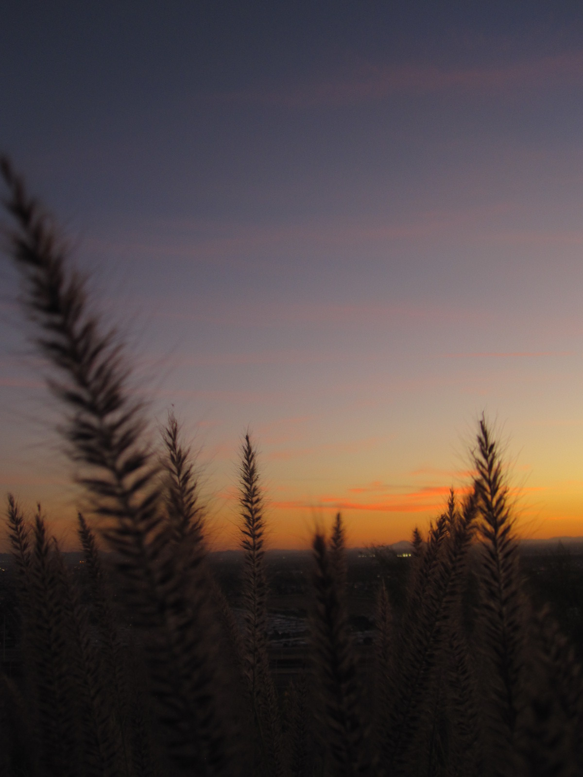
I loved these. They were so pretty blowing in the wind. I took video of them (below).

Red Mountain in the middle.


Shots of that plant blowing in the breeze followed by a 360 panorama starting in the West and then moving counter-clockwise to the South. Enjoy!

I took this shot a couple of days ago on a rare cloudy day.

I found this geocoin in a cache today. It serves the same purpose as a travel bug.
I hope I've convinced you all to try some geocaching! It's a great excuse to check out some cool scenery!