Showing posts with label Utah. Show all posts

Wednesday, June 27, 2012

Summer Vacation 2012: Day 2

On Saturday, we woke up in Moab (D on the Map) and went for breakfast at the Moab Diner. It was fast and tasty. I had a classic breakfast of pancakes, eggs, and bacon. I would highly recommend it. Then we headed out for some geocaching. 


One of the spots we found on our geocaching expedition was a pretty park along the Colorado River called Lions Park. The rocks in the picture below are the beginning of the boundary line for Arches National Park.
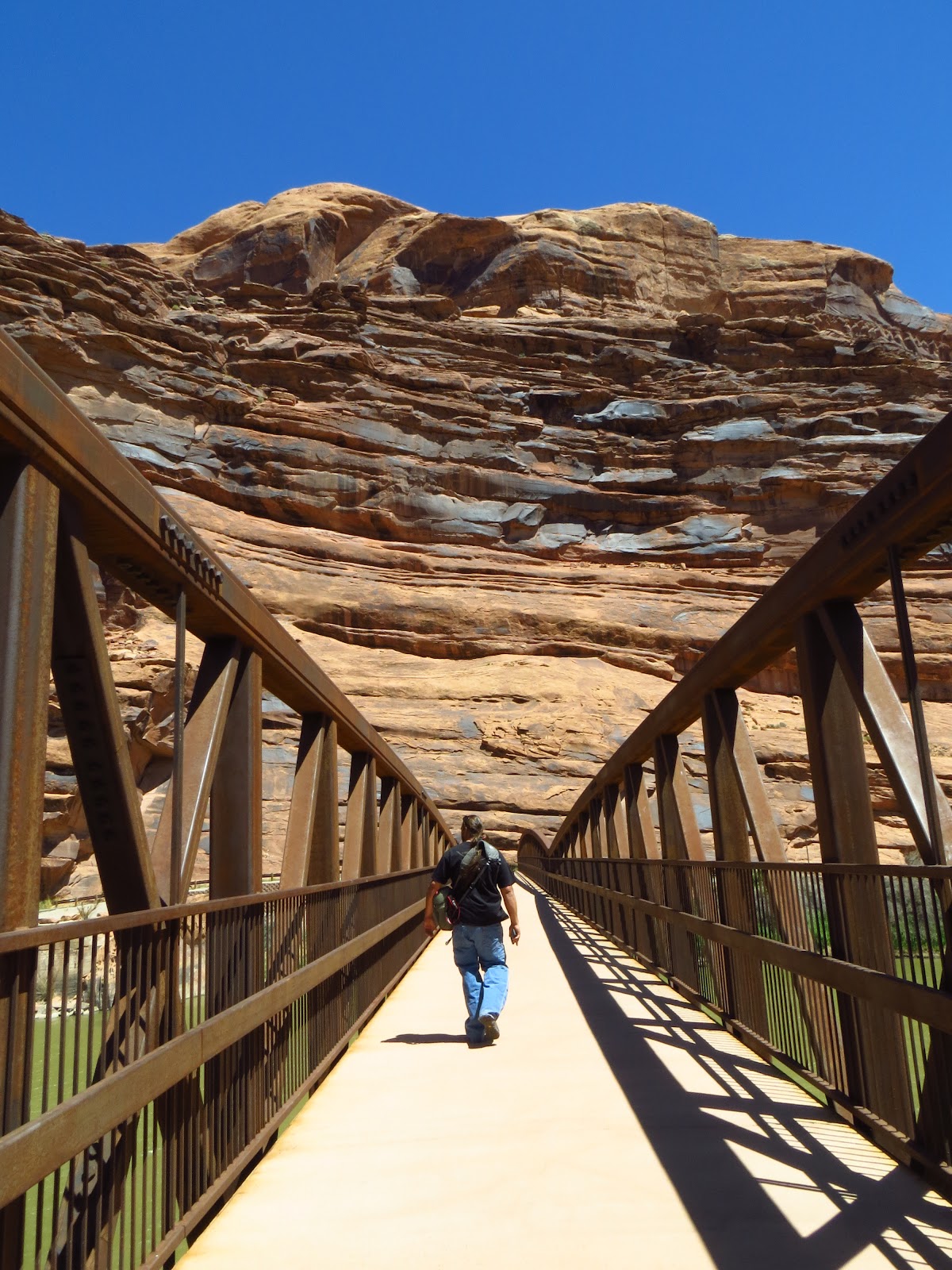
Bill taking a walk over the river.

The view from the bridge.

After taking in the view at Lions Park, we drove around the corner to Arches National Park. Arches is an interesting spot. It is full of tourists and seems to be a popular family destination. It's not that big compared to many other National Parks. It is 120 square miles in size, whereas the Grand Canyon is 1904 square miles and Yosemite is 1200 square miles. It's very pretty, but definitely hot, windy and sandy. I spent a lot of time with my hat over my face to keep from breathing in sand. Too bad I didn't have a bandana or I could have done it cowboy style!

One of the "windows."

There were some awesome dead trees at this park.

Here's me taking that picture. :)
Another one of the windows.

The windows again.


Bill in the wind. It was very gusty that day! In the video below, you can see how strong it was.

We took a hike around the back of the windows to get away from all of the people.
This is a good illustration of how much sand there was and how much it blew around. Many of the plants were half buried, including the prickly pear.
This is delicate arch, from the Utah state license plate. In order to hike up to it, you have to take a strenuous hike on slick rock with no shade, so we opted to take a look from the viewpoint.
The people in the picture give a good idea of the actual size.
We drove over to the campground to take some pictures. Can you believe people camp right next to this? Definitely a cool spot if you aren't using a soft sided tent.
A new arch in the making!
The building below this arch is part of the camp area.
  
Bill taking pictures.
The shoes! They look surprisingly clean considering the sand everywhere.
Bill looking like a rock star.
On our hike to landscape arch, we walked next to some large sandstone rock faces. This is the view from my point to the top.
The particular spot we were walking through was a wind tunnel and blew sand into a pile between these rock faces.
The rocks after we had walked through them.
Me, hiking along!
Landscape arch. This is the longest natural arch in the world. It spans approximately 290 feet. This arch is slowly thinning out and will eventually collapse. Since 1991, three giant chunks have fallen off of the arch. The largest was 70 feet long. In 1991, people were allowed to hike under the arch. A photographer was able to photograph one of the pieces falling while others scrambled to get out of the way.
A better view of the arch. All of the pieces that have fallen have been out of the thinnest section. I think the next part is going to fall out of the left side.
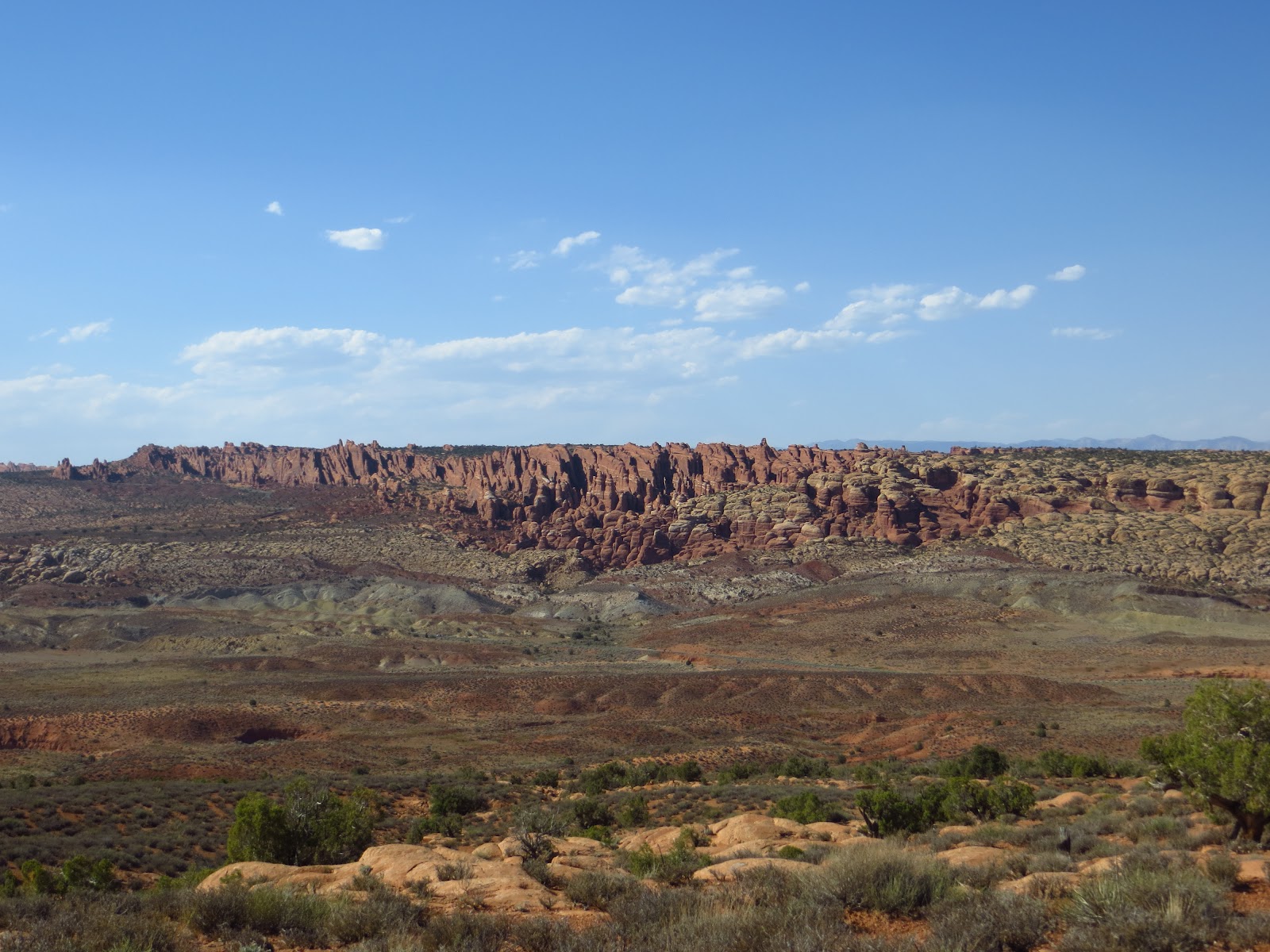
Some cool rock formations that can be seen from the road.

After hiking to landscape arch, we headed on our way to our hotel in Ogden. It continued to be very windy. We went by some really interesting mountains:

Sunset on our way to Ogden. It finally started to get cold outside!

Check back tomorrow to hear about Day 3 in Grand Teton National Park!

Tuesday, July 5, 2011

Crazy Road Trip Summer 2011: Day 7

Waking up on day seven was painful. After driving back to our hotel, grabbing some fast food, and looking at all of our pictures the night before, we didn't get to sleep until around two in the morning. We woke up at six and went to breakfast at around seven. After making ourselves even more tired with a huge breakfast, we set out on the road toward Zion. We had planned to take the beautiful Tioga Pass in Yosemite and head by Mono Lake, but the pass was still closed from the high snowfall. Instead we took the long drive through the farmland and desert interior of southern California. We drove through Fresno, Bakersfield, Barstow, and next to the Mojave National Preserve. Fresno still felt like green California, but once we reached Bakersfield, we started to notice the change in climate. Barstow marked the beginning of Hell. From that point on it looked like we were basically in Death Valley (which we were right next to). It was extremely hot and windy and the air conditioning kept blowing luke warm air. On top of it, Bill and I were just trying to stay awake. Once we drove past the Mojave National Preserve, we finally hit Las Vegas.

This is a turn off on highway 15 next to the Mojave National Preserve. I didn't take any pictures on this part of the drive, but I remember seeing this!

We drove through Las Vegas for the second time on our trip and drove on the other side of the Yucca Flat nuclear testing site (the home of Area 51). It's really pretty large if you look at it on a map, which is a little scary. Look at how much of Nevada it takes up! It is 200 square miles in size! I talked to a guy when we were at Yosemite who said he had been to Area 51 when he served in the military. They transported the men there in vehicles without windows, kept them completely quarantined in the facility, and even assigned them to a specific toilet to keep security as tight as possible. Pretty amazing!


After driving past Yucca Flat, we drove through a small corner of Arizona and then into Utah. 

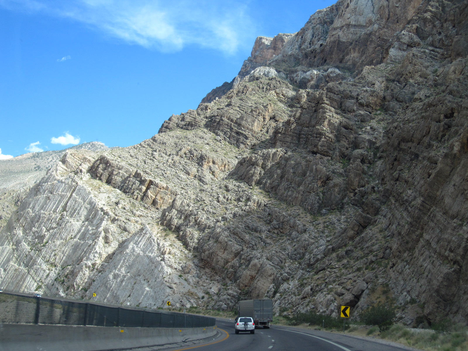
 A cool canyon that we drove through right after the corner of Arizona.


 The rocks had been through many geological processes and been pushed up through plate tectonics.

 After driving through a narrow slot canyon, the rocks opened up into the beautiful Virgin River Gorge.

Joshua Trees 


The first city we reached in Utah was St. George. It's a beautiful city that seems to have been carved right into the side of the red rock. After driving through a couple of small towns, we hit Springdale. Springdale is a small community outside of Zion that reminds me very much of Sedona. The entire town seems to revolve around Zion and the surrounding Red Rock. It has many artists and photographers along with outdoorsy people and nature lovers. It is also home to many bed and breakfasts. We stayed at one called the Harvest House

Bill and I had never stayed at a bed and breakfast, so this was a new adventure. We were greeted by the owner, Tom, who showed us our room. At this particular bed and breakfast, each bedroom had its own bathroom and a couple, including ours, had balconies looking out on the surrounding red rocks. Our particular room was called The Watchman and looked out onto a rock formation called The Watchman. 

 The Harvest House always has the "sorry" sign up because Tom doesn't take walk-ins.

The view from one side of the Harvest House.

After checking in we went to a Mexican fusion restaurant called the Whiptail Grill on Tom's recommendation. It's this unique restaurant that has been made out of an old gas station. It doesn't look like much, but it's amazing! 

The Whiptail Grill (taken the next morning while they were closed)

 The view from one direction...

 and the other.

 My chicken enchilada mmmmmmmmmmmmm.!!

 Bill's ribs which were awesome!!

Chocolate peanut butter habanero creme brulee. Need I say more?

After all that amazing food we were ready to pass out! We headed back to our bed and breakfast and went to bed. Check out tomorrow's blog to hear about our day in Zion!