On Monday, we woke up to a gorgeous morning in the Tetons (G and H). The sun had come out and the clouds over the mountains had parted.


Bill making pancakes at our campsite.

Our tent.

The Tetons over Jackson Lake. Remember when they were covered in clouds?


Close up.


We weren't standing on a nice shore, but at the edge of a cliff.

This is the highest peak and was the hardest one to photograph without cloud cover.


These were growing everywhere. I'm not sure what they are.


The view from the boat launch area.

I took a picture from the dock this time.


The highest peak again.

After packing up camp and taking in our last views of the Tetons, we headed on the road toward Yellowstone. The two parks are connected, and it only took about an hour to get there. Our first stop was Old Faithful (I). When we got there, we realized that we had just missed it, so we headed out to Biscuit Basin (J).


The first pool at Biscuit Basin. Yellowstone is actually a giant volcano, so there are many geothermal features all over the park. This area contains many beautiful pools and geysers.

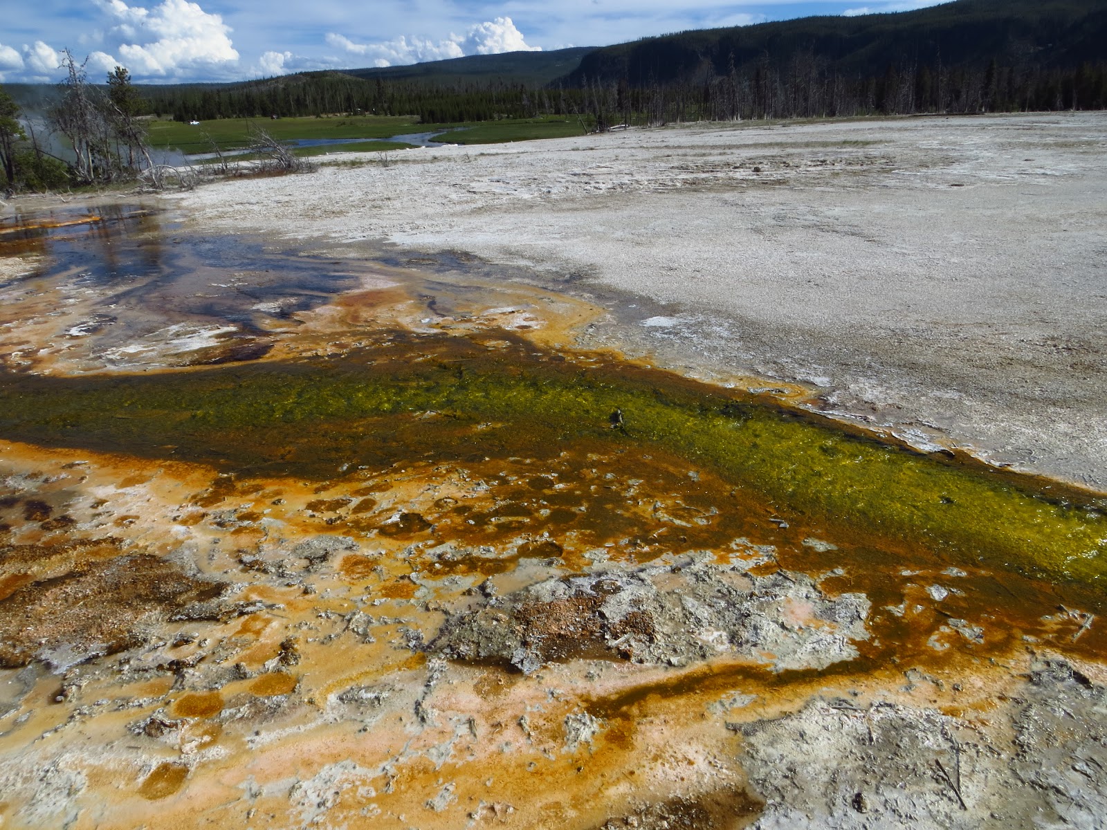
One of the "bacterial mats." These can be found in many of the geothermal areas of the park. They're formed when layers of thermophile or extremophile bacteria grow in the hot, sometimes acidic water from the hot springs, pools, and geysers.

When these hot spings pop up, they slowly kill the trees and plants around them.

It's not uncommon to see steam rising out of "fumerols" as you drive around the park.

There are many areas of the park where there have been past forest fires. In some spots, it still looks like a moon scape, while in others, like this spot, the forest has begun to grow back. One third of the park was burned in a massive fire in 1988. More about that fire here.

In this picture, you can see the wooden walkway through biscuit basin. These walkways were built to keep people off of the delicate (and dangerous) geothermal features, but we still saw plenty of idiots stepping off the walkway.


A close up of the bacterial mats in the water.

Sapphire Pool. You can see the "biscuit formations" around the edge. It used to have more until it became an erupting geyser for about ten years in the 1960s. The temperature of this pool is around 200 degrees Farenheight.


More bacterial mats.


Jewel Geyser. Bill and I didn't even realize that this was a geyser until it randomly started erupting as we were standing there.


The layers of deposits around the geyser.

Shell Geyser. We didn't see this one erupt.


Bill with his wide angle.


Elk tracks. Apparently the animals walk in these areas, especially when it's cold and snowy out.
 Bill's cousin and son.
 He wants to do everything dad does.
 Everything!


There is a river that flows right next to the springs and geysers at Biscuit Basin. Some of those springs flow into the river.

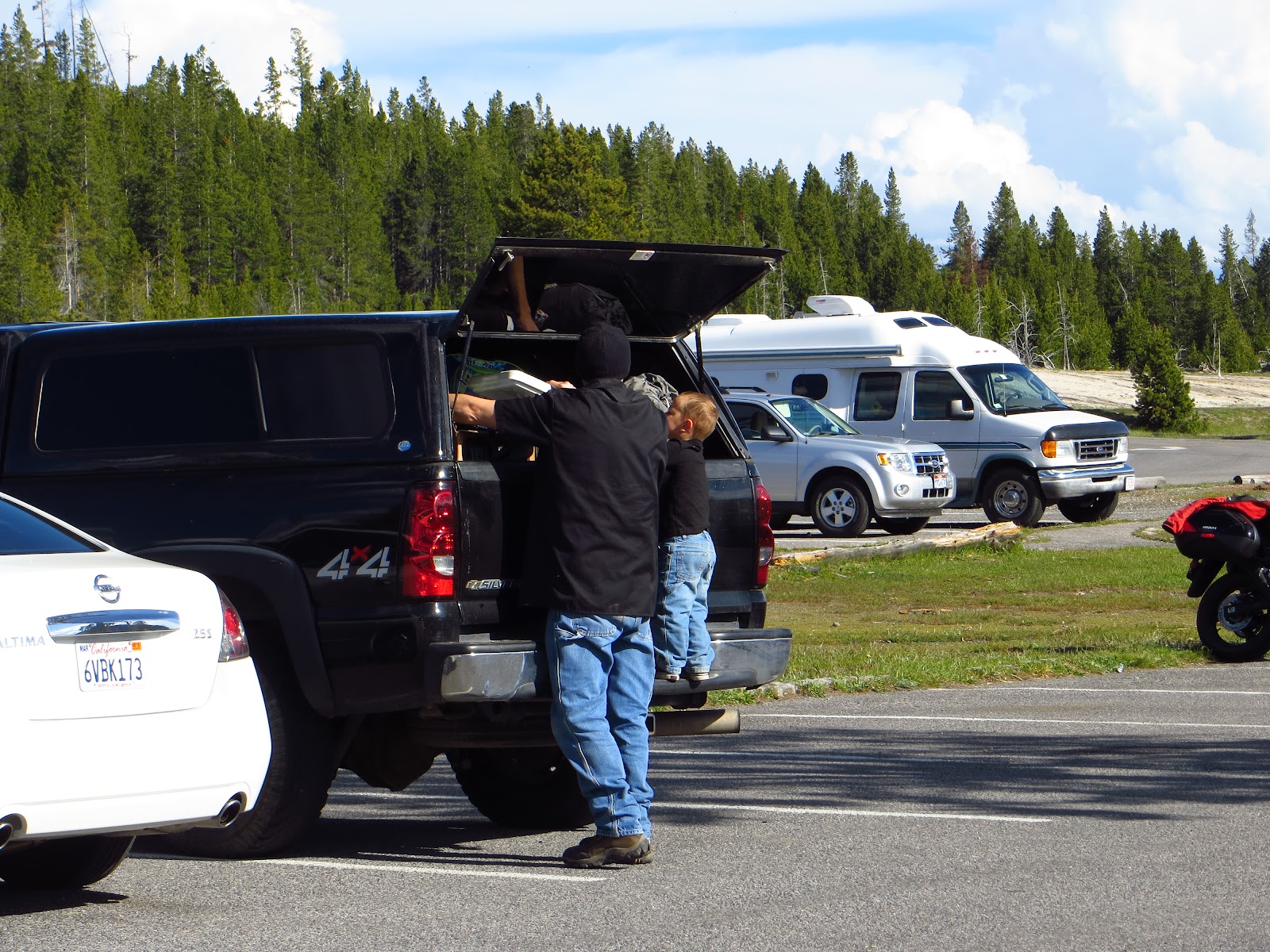
On our way up to the campsite (K on the map), we drove through Hayden Valley, known as the Serengeti of Yellowstone. It is a very popular wildlife watching spot. It's not uncommon to to see cars just randomly pulled over on the side of the road and people running around taking pictures.

A goose.

One of the many buffalo grazing in the park.


It's hard to believe it's real.


More buffalo.

Mama and baby.
Once we got to camp, we set up our tent and cooked dinner with Sean's family. Check back for my blog about Day 5!
No comments:
Post a Comment