A couple of weeks ago, Bill and I left on our road trip. We had one month left on our National Park Pass, so we decided to take full advantage of it. We left on a Thursday afternoon and headed out to Canyon de Chelly for our first stop. Our car was packed to the gills with camping equipment and food. We couldn't even see out the back window!
We didn't arrive until dark. We couldn't see the cayon, but we could see an awesome moon:
They have a couple different campgrounds at Canyon de Chelly. We were going to stay in the one at the beginning of the park until we saw that there was one near Spider Rock. It was very dark at our camp site and we were very tired, so we had a rough time putting up the tent. It was beautiful outside and we could see the stars.
Our campsite at breakfast. Yes, that's sand everywhere!
The camp bathroom. Not as scary as it looks! It's actually connected to a septic tank, so it has instructions to follow on the inside. If you do everything right, you get 100 points! (It really said that on the instruction sheet lol)
After breaking down camp, we took a drive around the canyon rim and stopped at the various viewing points. The only way to go down into the canyon is to go on a jeep tour, pay a guide, or take the White House Trail down. Since there are many Navajo still living in the canyon, access is limited to outsiders. We didn't have time for a hike or a tour, so we just took pictures from the top.
There are many ruins inside the canyon from the ancient pueblo. I'm not sure when this one was built, but I know the ancient pueblo left the area in around 1300. This ruin was across the canyon from my overlook. I had to use the 20x optical zoom on my new camera to get a good shot.
There's a creek that runs in the bottom of the canyon. It's able to sustain that beautiful patch of trees.
Another ruin.
It seems like the ruin in the cave above was used for storage.
In this picture, you can see the road through Canyon de Chelly and the creek next to Spider Rock.
Spider Rock. In Navajo folklore, the taller rock is the home of Spider Grandmother, who is responsible for the stars in the sky.
Me! Bill took this picture so I could submit it to a virtual geocache.
Spider Rock up close.

It's pretty cool that there's a tree growing on top of that.
The creek up close. The rock lines in the middle mark where the White House Trail crosses the creek.
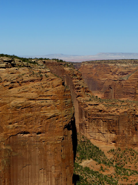
Some beautiful rock faces.
It was very bright out when I took these pictures. Can't you just feel the sun beating down?
A tree by the canyon edge.
I'm not sure why there are rock piles all over this rock...
I love the dead trees.
There are many spots in the sand stone where water has worn holes. In this particular spot, the water wore a circle instead of just a hole.
Bill modeling a Columbia short sleeved shirt in light blue. Shorts and shoes sold separately.
One of the houses in the bottom of the canyon.
This ruin is called Sliding House. It is slowly sliding off the cliff because of erosion.
This is a close up shot.
I'm not sure what these ruins are called or why there are giant painted blocks above them.
I just thought this was cool.

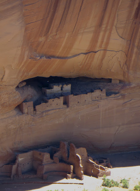
The White House ruins from a distance.
The top part of the White House ruins.
The full White House ruins.
I found these circles interesting.
This looked like more ancient storage to me.
After we took the South Rim drive around Canyon de Chelly, we headed towards monument valley. We saw some cool rock formations along the way.
On our drive, we stopped to make sandwiches and Bill got this picture.
At the entrance to Monument Valley. Once you enter Monument Valley, you can take a dirt road through the valley. We didn't have a 4 wheel drive, so we only took it a short way.
The Mittens.
A close up of one of the Mittens. The wind and sand have worn a hole through it.
The East Mitten and Merrick Butte.
It's very windy and very sandy on the Navajo Reservation. Monument Valley is no exception.
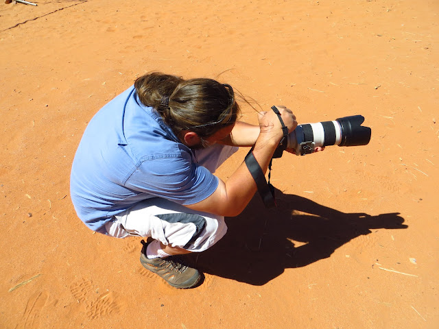
The photographer at work.
The view from the hotel at Monument Valley.
From far away, the ground in Monument Valley looks flat. It's actually pretty hilly.
Sentinel Mesa.
Bill and I.
While we were at Monument Valley, we ate at the hotel restaurant. We had an awesome meal with tasty Navajo specialties: Mutton Stew, Navajo tacos, green chili, red chili, cornmeal made with blue corn and juniper ash, and blue corn tortillas. It was awesome! After eating at the hotel, we headed on our way to Moab, UT.
The view as we left.
One of my favorite iconic spots.
On our drive to Moab, we saw some cool spots. Bill took these photos since my camera battery was charging:
The Valley of the Gods.
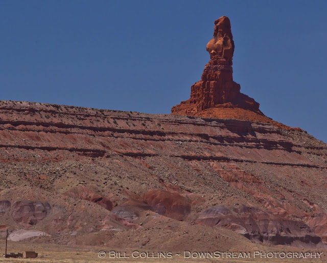
Mexican Hat rock. There is a small town named for this rock.
In Moab, we stayed in a KOA Cabin. This wasn't our exact cabin, but it looked like this:
It's pretty small, but it was bigger than a tent and pretty nice inside. After spending all day in the sand and wind, I was definitely glad to have running water and stay in four hard walls! Moab is also very windy and sandy, but it's in a pretty area. Check back for my next blog about Day 2 in Arches National Park!


awesome .. keep on posting
ReplyDelete-angel